Atlasfill

Go far.
Keep the story.

Atlasfill turns your rides, runs and trips into a map of the places you have actually been. Every municipality you cross is yours. Long-distance routes fill in as you ride them.

Start your atlasFree. Connect Strava or mark places by hand.
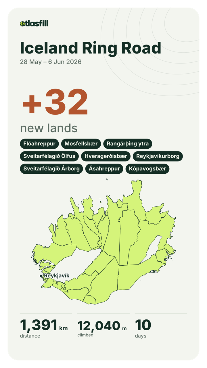
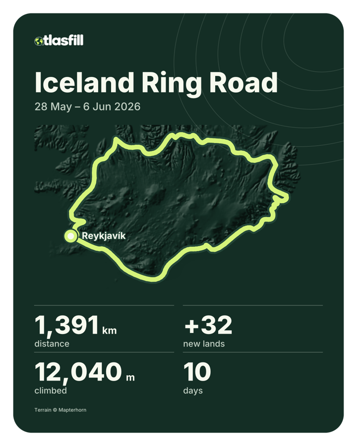
+32lands annexed in ten days around Iceland. 42 still in the fog.
EV1 Atlantic Coast RouteEV9 Baltic - AdriaticEV10 Baltic Sea CircleEV2 Capitals RouteEV4 Central Europe RouteEV11 East Europe RouteEV13 Iron Curtain TrailEV8 Mediterranean RouteEV19 Meuse Cycle RouteEV12 North Sea Cycle RouteEV3 Pilgrims RouteEV15 Rhine Cycle RouteEV17 Rhone Cycle RouteEV7 Sun RouteEV5 Via Romea FrancigenaEV14 Waters of Central EuropeEV6 Atlantic - Black Sea

Long routes fill in as you ride them.

EuroVelo routes are built in. Ride any stretch, in one go or over years, and it lights up kilometre by kilometre.

Basically done.

Nights away become journeys.

When rides chain together away from home, Atlasfill suggests a journey and names it after where you went. Save it with one tap, and the days stay together.

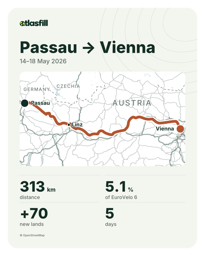
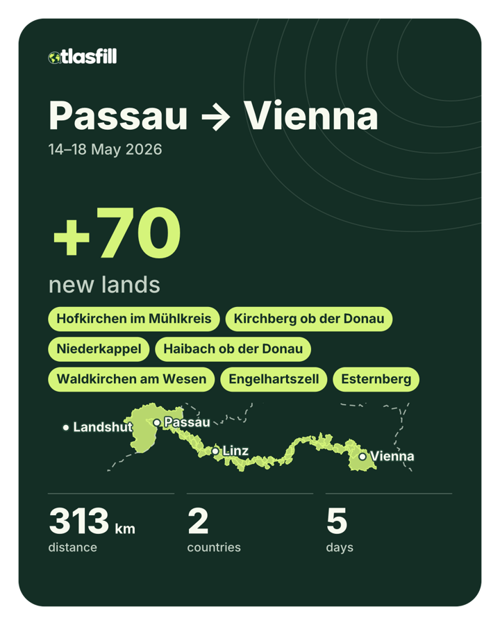
Passau → ViennaSuggested journey, 5 days, 4 nights away

  1. Day 1Passau → Schlögen42 km
  2. Day 2Schlögen → Linz50 km
  3. Day 3Linz → Grein62 km
  4. Day 4Grein → Melk50 km
  5. Day 5Melk → Vienna109 km

Share Studio turns a journey into a picture.

Pick a journey, a month or a few rides. Choose the numbers and the map, frame it with a drag, and post it to your story.
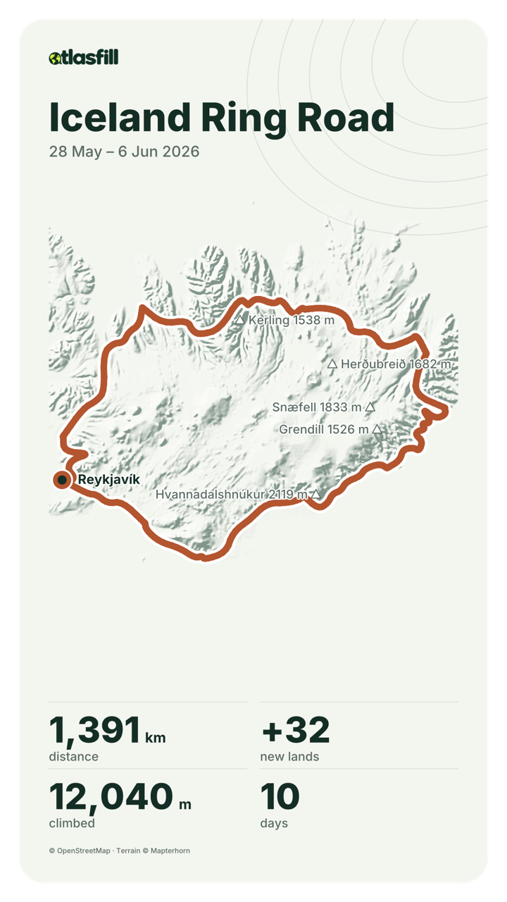
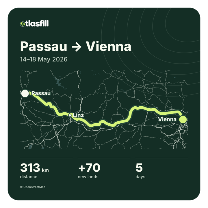
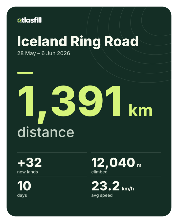
Story card: Iceland Ring Road around shaded relief and named peaks, 1,391 km, 32 new lands, 12,040 m climbed, 10 daysSquare card in the line-art map style: the Danube from Passau to Vienna in lime over fine road lines
Portrait card in the Atlas map style: Passau to Vienna, 313 km, 5.1% of EuroVelo 6, 70 new lands, 5 daysNumbers card on forest green: 1,391 km in large type, with new lands, climbing, days and average speed
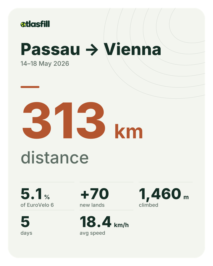
Story card of new lands: +32, the names of the lands, and Iceland filled in limeNumbers card on paper: 313 km, 5.1% of EuroVelo 6, 70 new lands, climbing, days and average speed
Portrait card of new lands: +70 along the Danube, with land names and the strip of claimed municipalitiesPortrait card on forest green: the Ring Road in lime over dark relief
Layouts
Route, numbers, map, new lands
Sizes
Story, portrait, square, wide
Map
Clean, Atlas or line art, with relief, peaks, water, borders and cities
Numbers
Up to six, from distance and climbing to share of a country or route

Atlas and line-art maps, relief, water and peaks come with Club.

Your next ride is already on the map.

Start your atlas

Example journeys and cards with invented rides. Your atlas tells your own story.